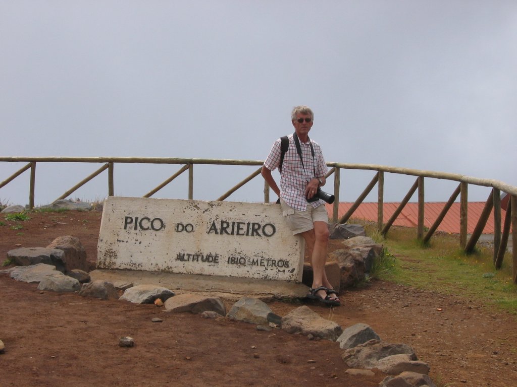
Up Ron & Marjolijn's holiday pictures » 2008-05 Madeira Prev Next Slideshow

 Previous image  Next image  Index page  Original Image [30-On the top.jpg - 369kB]
18-The levada de Folhadal
19-The levada de Folhadal
20-Road to Paul da Serra
21-In the distance the Pico Ruivo
22-Marjolijn likes the view
23-View of the town
24-The swimming pool
25-Very steep coast
26-Machico
27-Road to Pico do Arieiro
28-Road to Pico do Arieiro
29-On the top
  30-On the top.jpg - On the top  
31-Path to the Pico Ruivo
32-Path to the Pico Ruivo
33-Seaview
34-Beach
35-The track to the Pico Ruivo
36-Mountains around the Pico Ruivo
37-The track to the Pico Ruivo
38-Mountains around the Pico Ruivo
39-Mountains around the Pico Ruivo
40-Mountains around the Pico Ruivo
41-The Pico Ruivo
42-The track to the Pico Ruivo

On the top Download Original Image
Latitude: N 32°44'7,49" | Longitude: W 16°55'42,81" | Altitude: 1801 metres | Location: Pico do Arieiro | State/Province: Ilha da Madeira | Country: Portugal | Copyright: Marjolijn Michels | See map
Total images: 62 | Help